The short answer
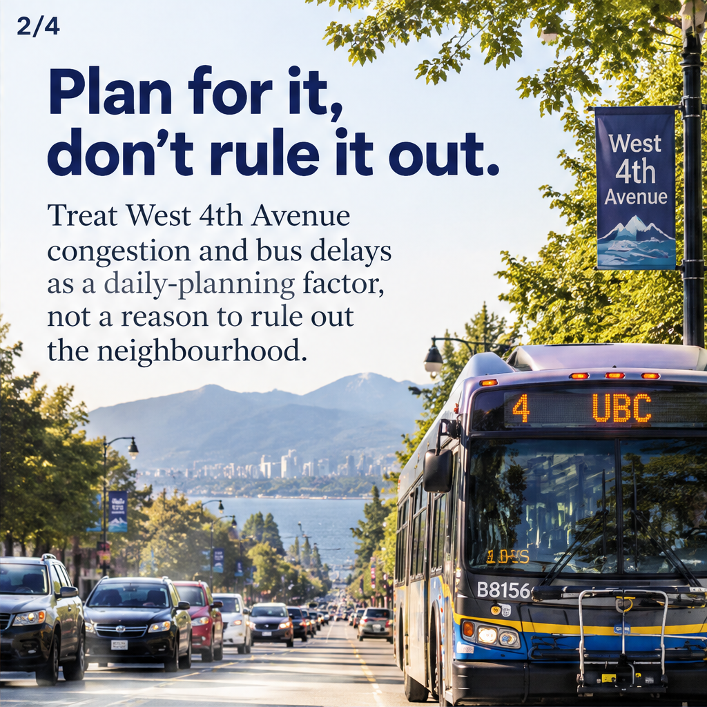
Treat localized West 4th Avenue congestion and bus delays in West Point Grey as a daily-planning factor, not an automatic deal-breaker.
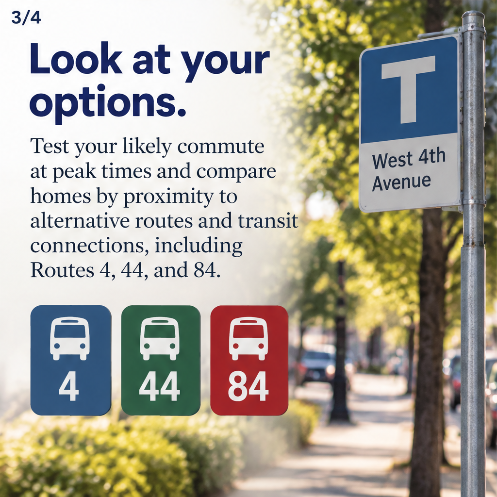
Test your likely commute at peak times and compare homes by proximity to alternative routes and transit connections, including Routes 4, 44, and 84. Factor planned housing at Jericho Lands and the future UBCx SkyTrain station into longer-term access expectations, and allow extra time when evaluating options.
Updated

What is localized West 4th Avenue congestion and bus delays?
Localized West 4th Avenue congestion and bus delays in West Point Grey means recurring slow vehicle speeds and buses running late on sections of West 4th Avenue, especially during peak hours.
Localized congestion differs from network-wide gridlock: it is concentrated along a corridor and can be influenced by traffic signals, turning volumes, stops, and short-term events. Bus delays are often the visible symptom for transit riders; they reflect both traffic and operational scheduling.
7 things to know about West 4th Avenue congestion and bus delays in West Point Grey
1. How this should influence your daily planning
West 4th Avenue congestion and bus delays in West Point Grey should be treated as a routine scheduling factor rather than an absolute reason to exclude the area. Build buffer time into commutes, appointments and school runs; many residents handle predictable slowdowns by leaving earlier or choosing different travel windows.
2. Test commutes at peak times
Testing your likely commute at peak times is the most reliable method for assessing impact on daily life. Try the route by car, bicycle and bus during morning and evening peaks to see real delay patterns and variability before committing to a neighbourhood or property.
3. Compare proximity to alternative routes and transit
Compare homes by proximity to alternative routes and transit connections in West Point Grey, including Routes 4, 44, and 84. Properties closer to parallel streets, arterial connections or those transit routes can reduce delay exposure and provide fallback options when West 4th is congested.
4. Expect change from planned development
Planned development at Jericho Lands will add substantial housing and could increase traffic pressure on West 4th Avenue and nearby streets. Factor likely growth in local travel demand into your medium-term plans for commuting and parking.
5. Consider long-term transit projects
The future UBCx SkyTrain station is a long-term change that may improve access to the broader region. Do not assume immediate benefits from such projects; consider how a future station might alter modal choices and reduce reliance on congested corridors over time.
6. Balance walkability, cycling and parking
In West Point Grey, walking or cycling for short trips can avoid corridor congestion entirely. For driving, evaluate parking availability and visitor capacity at each property; for transit users, check how often buses run on your likely route and whether bus reliability meets your needs.
7. Use comparisons, not absolutes, when choosing a home
When choosing between properties in West Point Grey, compare expected commute times, access to Routes 4, 44 and 84, and proximity to alternate streets rather than eliminating the whole neighbourhood. Short-term inconvenience may be offset by other priorities such as schools, lot size or local amenities.
How to factor West 4th Avenue congestion and bus delays into a location search — step by step
- List typical daily trips for your household (work, school, childcare, errands) and preferred travel modes.
- Identify candidate homes and note distance to West 4th Avenue, Routes 4, 44 and 84, and nearby arterial streets.
- Test the commute from each candidate at morning and evening peak times by car, bike and bus to record travel time and variability.
- Compare results and consider alternatives: earlier departure, different route, cycling or combining modes (park-and-ride, drop-off points).
- Factor in planned developments such as Jericho Lands and the future UBCx SkyTrain station for medium- and long-term access expectations.
- Speak with City of Vancouver and TransLink staff or representatives to confirm current projects, and consult a lender or lawyer for timing and purchase implications.
| Checklist item | Why it matters | Who to ask |
|---|---|---|
| Test peak commute | Shows real delay patterns and reliability | Self-test; ask a realtor for recommended times |
| Check Routes 4, 44, 84 access | Identifies transit alternatives to West 4th Avenue | TransLink for schedules and service updates |
| Assess nearby alternate streets | Alternative driving or cycling corridors reduce exposure | City of Vancouver for street design info |
| Review local development plans | Planned housing can increase travel demand over time | City planning department and project planners |
What's different in British Columbia?
Transportation planning and major transit projects in British Columbia involve provincial and regional authorities as well as the City of Vancouver. Large infrastructure decisions, funding and approvals for rail or highway projects are often led or co-led by the provincial ministry and regional transit agencies. Check current details with City of Vancouver planning, the provincial Ministry of Transportation and Infrastructure, and TransLink for project timelines and funding responsibilities.
Common mistakes
- Assuming congestion is constant: congestion and bus delays vary by time of day and day of week; test peak and off-peak.
- Relying only on maps: straight-line distance ignores turning movements, signals and stops that cause delays.
- Ignoring planned development: not accounting for projects like Jericho Lands can underestimate future travel demand.
- Expecting immediate benefits from long-term projects: future SkyTrain stations can change access but usually not in the short term.
Frequently asked questions
Should I rule out West Point Grey because West 4th Avenue is congested?
No; West 4th Avenue congestion and bus delays in West Point Grey should be a planning factor, not an automatic exclusion. Test your commute at peak times and compare properties by access to alternative streets and transit routes like 4, 44 and 84 before deciding.
How can I test how much West 4th Avenue delays will add to my commute?
Test the exact route at morning and evening peak times by car, bike and bus and note travel-time variability. Repeat tests on different days to see consistency, and compare results between candidate homes to identify lower-delay options.
Will the Jericho Lands development make congestion worse?
Planned development at Jericho Lands is expected to add substantial housing and could increase traffic pressure near West 4th Avenue. Use that likely growth when planning medium-term travel expectations and re-check municipal planning documents for updates.
How might the future UBCx SkyTrain station affect access in West Point Grey?
The future UBCx SkyTrain station may improve longer-term access to the region and reduce reliance on congested corridors, but benefits are gradual and depend on project timing. Consider it in long-range planning rather than as an immediate fix.
What if bus delays make public transit unreliable for my schedule?
If bus delays make transit unreliable, compare nearby properties for closer access to Routes 4, 44 and 84, consider cycling or driving options, and build contingency time into schedules. Speak with TransLink about service frequency and planned improvements.
Who decides and who pays for traffic or transit improvements around West 4th Avenue?
Decisions and funding involve multiple bodies: the City of Vancouver handles local streets and traffic changes, regional transit authorities manage bus and SkyTrain services, and the provincial government may fund major infrastructure. Check current responsibilities with the relevant agencies.
Official sources
- City of Vancouver planning department — local land use and traffic projects
- TransLink (regional transit authority) — bus routes, schedules and transit planning
- Ministry of Transportation and Infrastructure, British Columbia — provincial transport projects and approvals

About the agent
Dr Sam Mehrbod
Vancouver, British Columbia · Team 3000 Realty Ltd.
Sam Mehrbod, Ph.D., is a Greater Vancouver REALTOR® specializing in investment, development, and high-value residential opportunities across Vancouver West Side, North Vancouver, the North Shore, and Greater Vancouver. With 14 years of real estate experience and a background in construction, building, and project management, Sam helps clients evaluate properties with a deeper lens—development potential, renovation upside, cost estimates, pro formas, and long-term value. Known for blending market insight with technology, Sam uses data, digital marketing, and advanced property tools to help buyers secure exceptional deals and sellers achieve fast, top-dollar results. His track record includes homes sold over asking in one day and helping a buyer purchase a property $1 million below government assessment. Warm, strategic, and tech-forward, Sam brings investors, developers, buyers, and sellers a rare combination of construction knowledge, analytical thinking, and modern marketing expertise
General information only, not legal, tax, financial or insurance advice. Rules and products change; confirm details with a licensed professional or your local authority.